National Weather Service announces flash flood watch
Published 4:00 pm Monday, May 28, 2018
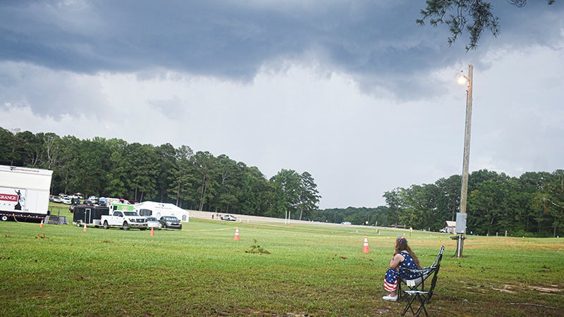
Troup County and other surrounding counties remain under a flash flood watch as Subtropical Storm Alberto makes its way inland Monday afternoon.
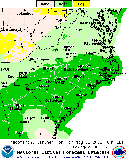
The flash flood watch will extend through Wednesday at 8 a.m. Rainfall resulting from subtropical storm Alberto combined with precipitation last week could result in flash flooding near creeks and rivers.
“Now through Wednesday, we will need to watch the heavy rain and flooding potential,” said Ryan Willis, a meteorologist at the National Weather Service in Peachtree City. “That is kind of high right now because we’ve been in such a wet pattern this last couple weeks, so the ground is saturated. All of this additional rainfall will runoff into creeks and streams.”
According to the National Weather Service, high water may not recede until well after the rain has ended.
Troup County will likely see 2 to 4 inches of rain between Monday afternoon and Wednesday, though some localized areas could see as much as 4 to 5 inches of rain.
Wind gusts are expected to remain mild, though wind speeds in the 25 to 30 miles per hour range could be seen on Monday night into Tuesday morning.
“A few trees could fall with some lighter winds like that, but overall the stronger winds will remain down to the south,” Willis said.
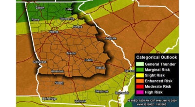
There is also a chance of isolated tornadoes due to the storm.
“There is a risk of a couple of isolated tornadoes across the area as early as this afternoon and into the overnight hours of tomorrow, but the primary risk in our area is going to be the heavy rain and flooding potential,” Willis said.
Look for additional updates on the weather on our Facebook page.